Quick answer: in most UK council-owned parks, recreation grounds and commons, taking off, landing, or piloting a drone in flight without the council's written consent is a criminal offence under local byelaws — even when your airspace check is completely clear. The rules are made under the Public Health Act 1875 and the Open Spaces Act 1906 from a government model template adopted by most councils, they catch every consumer drone, and they carry a fine of up to £500. UK Drone Map shows these parks as a dedicated Council Byelaw Parks layer because they are the single biggest legal trap that a perfect airspace check will never warn you about.
Why this layer exists — airspace and ground are two different permissions
Almost every drone app on the market answers one question: is the airspace clear? FRZ, NOTAM, controlled airspace, restricted areas. That is the question the CAA cares about, and it matters. But it is only half of what makes a flight legal.
The other half is the ground you are standing on. You always need some lawful basis to take off and land — the landowner's permission, a public right that allows it, or at least the absence of a rule forbidding it. A field, a beach, or a stretch of moorland is usually fine. A council park is usually not, because the council has made a byelaw that specifically bans launching, landing and flying there without consent. That ban exists independently of the airspace. The sky above a suburban recreation ground can be open Class G with nothing on any aeronautical chart, and you can still be committing an offence the moment your props spin up.
This is why we show council parks as their own layer with a "DRONE TAKE-OFF / LANDING PROHIBITED" badge. It is the gap between "the airspace is clear" and "I am allowed to fly here".
The legal basis, in plain terms
Councils in England and Wales can make byelaws for their parks and open spaces under section 164 of the Public Health Act 1875 and sections 12 and 15 of the Open Spaces Act 1906. To keep them consistent, central government (DCLG, now MHCLG) publishes a model byelaws template for "pleasure grounds, public walks and open spaces", confirmed by the Secretary of State. Most councils have adopted that template in near-identical wording, which is why the same drone clause turns up in park byelaws from Cornwall to Cumbria.
The relevant clause is Part 6, paragraph 40:
"No person, except with the consent of the Council, shall cause any power-driven model aircraft to (a) take off or otherwise be released for flight or control the flight of such an aircraft in the ground; or (b) land in the ground without reasonable excuse."
Read that carefully. It bans three things: take-off, landing, and controlling the flight of the aircraft while in the ground. The third is the one that surprises people — standing inside the park flying a drone overhead is caught even if you launched from outside the gate.
Does it catch your drone? Almost certainly, yes
The model byelaws define a "power-driven model aircraft" as any aircraft up to 7 kg without its fuel, and "power-driven" expressly includes electric motors, jet propulsion and compressed gas. That definition swallows essentially the entire consumer market:
- DJI Mini, Air, Mavic and Avata series
- Autel EVO and Nano series
- FPV freestyle and racing quads, Cinewhoops, tiny whoops
The 250g CAA threshold is irrelevant here — a council byelaw does not exempt sub-250g drones. A DJI Mini in a council park is just as prohibited as a Mavic. Drones heavier than 7 kg are not off the hook either; they are caught by a separate byelaw covering "aircraft, hang-gliders and hot air balloons", which usually carries the same penalty.
What it costs you
Breaching a park byelaw is a summary criminal offence with a fine of up to Level 2 on the standard scale — £500 (the level is set by the Criminal Justice Act 1982 s.37). On top of the fine:
- Park constables, council wardens and police can stop you and remove you from the ground.
- Councils can seek an injunction against repeat offenders.
- Some councils layer a Public Spaces Protection Order (PSPO) on top under the Anti-social Behaviour, Crime and Policing Act 2014. Those carry a higher Level 3 fine (£1,000) and can be enforced with an on-the-spot fixed penalty notice.
A worked example: the London Borough of Redbridge
Redbridge's "Byelaws for Pleasure Grounds, Public Walks and Open Spaces" (sealed 4 February 2010, confirmed by the Secretary of State 14 June 2010) cover 47 named grounds — Valentines Park, Fairlop Waters, Claybury Park, Roding Valley Park, South Park, Goodmayes Park and many more. Byelaw 40 is the model-aircraft prohibition word-for-word; Byelaw 50 sets the £500 penalty. Fly a DJI Mini from Valentines Park without consent and you are inside that schedule. This is not a hypothetical — it is the exact structure operating in hundreds of councils nationwide.
It can also get layered. Hainault Forest Country Park nearby is split between Essex County Council and Redbridge, both of which restrict drones under their own access policies, and it has been a Site of Special Scientific Interest since 1986 — so disturbing wildlife there is a separate offence under the Wildlife and Countryside Act 1981 on top of the byelaw.
Scotland, Wales and Northern Ireland
Wales and Northern Ireland use the same model-byelaw regime as England. Scotland runs a parallel system: park byelaws are made under the Civic Government (Scotland) Act 1982 s.121. The wording differs but the effect on drones is identical — Glasgow, Edinburgh, Aberdeen, Dundee and Highland councils all prohibit model aircraft and drone use in their parks without consent.
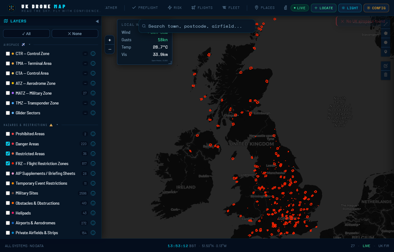
How to use the Council Byelaw Parks layer
- Switch the layer on. Open the live map, find your intended launch spot, and toggle on the Council Byelaw Parks layer. Parks shaded on this layer are highly likely to sit on a council byelaw schedule.
- Treat a flagged park as "no" by default. If your launch point is inside a shaded park, assume you need written council consent before you fly — separate from anything the airspace layers tell you.
- Verify against the council's own schedule. Our coverage is sourced from OpenStreetMap and is indicative, not a legal register. Each council names the exact grounds in a Schedule, almost always published as a PDF on its website. Search "[council name] park byelaws" and confirm whether your specific park is listed.
- Apply for consent if you need that ground. Contact the council's parks, leisure or filming team in writing. Recreational consent is rare; commercial filming consent usually needs public liability insurance and CAA authorisation.
- Still check the airspace. Ground consent is not airspace permission. A park can sit inside an FRZ, under a NOTAM, or within a Restriction of Flying — check those layers too. You need both boxes ticked.
Where pilots get caught out
- "The app said the airspace was clear." It was. The airspace was never the problem — the byelaw on the ground was.
- "It's under 250g, so the rules don't apply." The CAA's 250g threshold has nothing to do with a council byelaw, which catches anything up to 7 kg.
- "I launched from the path, not the grass." The byelaw also bans controlling the flight from inside the park, so where you stand matters as much as where you take off.
- "There was no sign." Byelaws don't require a sign at every entrance to be enforceable. The schedule is the legal document, not the signage.
Frequently asked questions
Is it illegal to fly a drone in a council park?
In most council parks, taking off, landing or piloting a drone without written council consent is a criminal offence under local byelaws, even when the airspace is clear. Penalty up to £500.
Does it apply to a sub-250g drone?
Yes. Byelaws catch any "power-driven model aircraft" up to 7 kg. There is no 250g exemption.
Can I fly over the park from outside it?
The byelaw also bans controlling the flight from inside the park, so standing within the boundary is caught. Launching from genuinely outside and overflying is greyer on the byelaw but still subject to CAA rules and disturbance offences.
How do I get permission?
Apply in writing to the council that owns the park. Recreational consent is rarely granted; commercial requests usually need insurance and CAA authorisation.
Where can I see which parks are affected?
The Council Byelaw Parks layer on UK Drone Map flags likely-affected parks. Always confirm against the council's published byelaw schedule before flying.
Sources: model byelaws for pleasure grounds, public walks and open spaces (DCLG/MHCLG); Public Health Act 1875 s.164; Open Spaces Act 1906 ss.12 & 15; Civic Government (Scotland) Act 1982 s.121; Criminal Justice Act 1982 s.37; Anti-social Behaviour, Crime and Policing Act 2014 Part 4. Park coverage on the map is sourced from OpenStreetMap and is indicative of likely byelaw coverage, not a legal register — always verify the specific council's byelaw schedule before flight. This is general information, not legal advice. Not for operational use.