Quick answer: on Saturday 13 June 2026, nine temporary restricted areas close airspace along the entire King's Birthday Flypast route — from the North Sea off Suffolk, through Essex, across central London at 12:40–13:25 BST, then out past Denham and Halton towards Brize Norton until 13:40 BST. Every one of them applies from the surface up and to every aircraft including all drones — sub-250g included — plus balloons, kites and parachutes. They are made under Article 239 of the Air Navigation Order 2016 via AIC M 049/2026, and breaching one is a criminal offence.
What is the King's Birthday Flypast?
It's the RAF flypast that closes Trooping the Colour — the King's official birthday parade. Dozens of aircraft, from historic warbirds to Typhoons and the Red Arrows, assemble over the North Sea, run in over Suffolk and Essex in trail, cross Buckingham Palace at around 1pm, and disperse to the north-west. Because the formation flies low and slow along a fixed route, the CAA restricts the airspace beneath and around it for the whole transit.
The nine restricted areas, with times in BST
Each area is active from the surface to the altitude shown. UTC times (as published in the NOTAMs) are in brackets.
- Area A — North Sea, Suffolk & Norfolk coast · up to 10,000 ft · 11:00–14:00 BST (1000–1300 UTC). The assembly and holding area — the longest window of the day.
- Area B — Saxmundham to East Bergholt · up to 5,000 ft · 12:30–13:25 BST (1130–1225 UTC).
- Area C — East Bergholt to Colchester · up to 4,000 ft · 12:35–13:25 BST (1135–1225 UTC).
- Area D — Colchester to Witham · up to 3,000 ft · 12:35–13:25 BST (1135–1225 UTC).
- Area E — Witham to the London City CTR · up to 2,500 ft · 12:40–13:25 BST (1140–1225 UTC).
- Area F — central London · up to 2,500 ft · 12:40–13:25 BST (1140–1225 UTC). A belt across Greater London from roughly the Windsor area east to the Isle of Dogs, between about Hampstead in the north and Clapham in the south.
- Area G — Denham to Halton · up to 2,500 ft · 13:00–13:40 BST (1200–1240 UTC).
- Area H — Halton to the Brize Norton CTR · up to 2,500 ft · 13:00–13:40 BST (1200–1240 UTC).
- Area I — north-west of the Heathrow CTR · up to 2,500 ft · 13:00–13:40 BST (1200–1240 UTC).
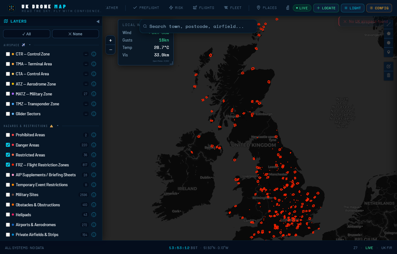
All nine are drawn on the UK Drone Map events layer — open the map, switch on Events, and you can see exactly whether your launch site is inside a boundary rather than guessing from place names.
Does it really apply to a 249g drone in my garden?
If your garden is inside one of the areas during its active window — yes. A Restriction of Flying under Article 239 ANO 2016 applies to all aircraft, and the regulations for these areas explicitly include "any small balloon, any kite, any UAS and any parachute". Weight class, Open category rules, and TOAL rights are all irrelevant inside an active RoF. The only standard carve-outs are police air support, air ambulance and coastguard aircraft, plus anyone holding a specific permission from the RAF Flypast Project Officer or the listed ATC units — not something a hobby pilot will have.
How to plan a drone flight around the flypast — step by step
- Check whether your site is inside an area. Open the live map with the Events layer on and find your launch point. The corridor is narrow in Essex and Suffolk — being 2 miles off the route may put you completely clear.
- Note your area's window and convert the time. NOTAM times are UTC; the UK is on BST (UTC+1) in June. 1140 UTC means 12:40 BST. Every window above is given in both.
- Fly outside the window, or outside the area. These restrictions are short — central London is closed for 45 minutes. A morning flight that lands by 12:00 BST, or an afternoon flight after 14:00 BST, avoids the flypast entirely almost everywhere (the North Sea coastal area runs longest, 11:00–14:00 BST).
- Re-check NOTAMs on the morning. Ceremonial timings slip, and last-minute Royal Flight and security NOTAMs can appear with hours of notice. Check the map or a NATS PIB before you drive anywhere.
- Remember the permanent rules underneath. When the flypast window closes, London is still London: the Heathrow and London City FRZs, the EG R157/R158 central London restricted areas, and the Hyde Park rules all still apply.
The rest of the weekend: what else is closed
- Sunday 14 June — RAF Cosford, Shropshire. A Red Arrows display closes a 6 NM circle around Cosford from the surface to 8,300 ft, 14:55–15:35 BST (AIC M 058/2026). That covers Albrighton, Shifnal and the eastern edge of Telford.
- Until Monday 15 June — Castle Donington, Leicestershire. A drone-only ban within 1 NM of the Download Festival site, surface to 1,400 ft, continuous until 23:59 BST on 15 June (AIC M 053/2026). Manned aircraft are unaffected; every UAS is grounded.
- Until Saturday 13 June — Lasham, Hampshire. A gliding-competition restriction within 3 NM of Lasham Aerodrome, daily 11:00–16:00 BST — but note its band is 800–5,500 ft, so sub-400 ft drone flying is technically outside it. Expect heavy glider traffic anyway; this is a poor weekend to test that boundary.
- From Tuesday 16 June — Royal Ascot week. A 2 NM all-aircraft restriction around Ascot Racecourse (10:00–20:00 BST daily, to 2,000 ft) and a drone-only ban over Windsor Great Park (10:00–14:30 BST daily, to 1,300 ft), both running 16–20 June.
Why flypast NOTAMs catch pilots out
Three reasons, all avoidable:
- The UTC trap. In summer, every NOTAM time is an hour earlier than your watch. Pilots who read "1140–1225" as lunchtime-ish and launch at noon BST are inside an active restriction.
- The corridor surprise. Everyone expects central London to be closed; few expect Saxmundham, Colchester or Witham. The run-in corridors close towns 60 miles from the Palace.
- The dispersal areas. The restrictions don't end when the formation passes the Palace. Areas G, H and I stay active until 13:40 BST as aircraft recover west — covering the Chilterns and a swathe of Oxfordshire.
Frequently asked questions
Can I fly my drone in London on Saturday 13 June 2026?
Not between 12:40 and 13:25 BST if you're inside Area F — the belt from roughly Windsor east to the Isle of Dogs, Hampstead down to Clapham, surface to 2,500 ft. Outside that window, normal London airspace rules apply (which, in much of central London, still mean no).
Does it apply to drones under 250g?
Yes. Article 239 restrictions apply to all aircraft, explicitly including any UAS of any weight, plus balloons, kites and parachutes.
What time does the restriction start and end?
Staggered by area: 11:00–14:00 BST on the Suffolk/Norfolk coast, ~12:30–13:25 BST along the run-in corridors, 12:40–13:25 BST over London, 13:00–13:40 BST on the westward dispersal legs.
What happens if I ignore it?
It's a criminal offence, on a day with maximum security attention and dozens of low-level military aircraft. Expect enforcement, not luck.
Where can I see the boundaries on a map?
All nine areas — and the Cosford, Download, Lasham, Ascot and Windsor restrictions — are drawn on the UK Drone Map events layer, with the official reference and active hours in each zone's popup.
Sources: AIC M 049/2026 (flypast areas verified directly against the official CAA circular PDF, published 30 April 2026), AIC M 050/2026, M 053/2026, M 056/2026, M 058/2026, M 062/2026 and the corresponding NOTAMs (J1383–J1393/26 and others) in the current NATS Pre-flight Information Bulletin. Boundaries shown on the map are planning approximations — always verify against the official AIC and a fresh PIB before flight. Not for operational use.