Quick answer: for the Royal International Air Tattoo at RAF Fairford, Gloucestershire, three temporary restricted areas close the airspace over and around the airfield. Areas A and B are active every day from 15–19 July 2026, 08:15–20:00 BST (0715–1900 UTC); Area C covers the departures day on 20 July 2026, 07:45–18:45 BST (0645–1745 UTC). Every area applies from the surface up and to every aircraft including all drones — sub-250g included. They are made under Article 239 of the Air Navigation Order 2016 via AIC M 032/2026, and breaching one is a criminal offence.
What is RIAT, and why is the airspace closed?
The Royal International Air Tattoo is the world's largest military airshow, held each July at RAF Fairford. Hundreds of aircraft arrive in the days before the public weekend, display through it, and depart afterwards — much of it fast, low and in formation. RAF Fairford is a working military airfield, so for the duration of the build-up, show and departures the CAA restricts the surrounding airspace to keep everything that isn't part of the event out of the way.
The three restricted areas, with times in BST
Each area is active from the surface to the level shown. UTC times (as published in the AIC) are in brackets.
- Area A — arrivals & show area over RAF Fairford · surface to FL85 (about 8,500 ft) · 08:15–20:00 BST daily, 15–19 July (0715–1900 UTC). The main area over the airfield, covering arrivals and both display days.
- Area B — adjoining area to the south-west · surface to FL65 (about 6,500 ft) · 08:15–20:00 BST daily, 15–19 July (0715–1900 UTC).
- Area C — departures day · surface to FL65 (about 6,500 ft) · 07:45–18:45 BST, 20 July (0645–1745 UTC). Active only on the Monday as the participating aircraft leave.
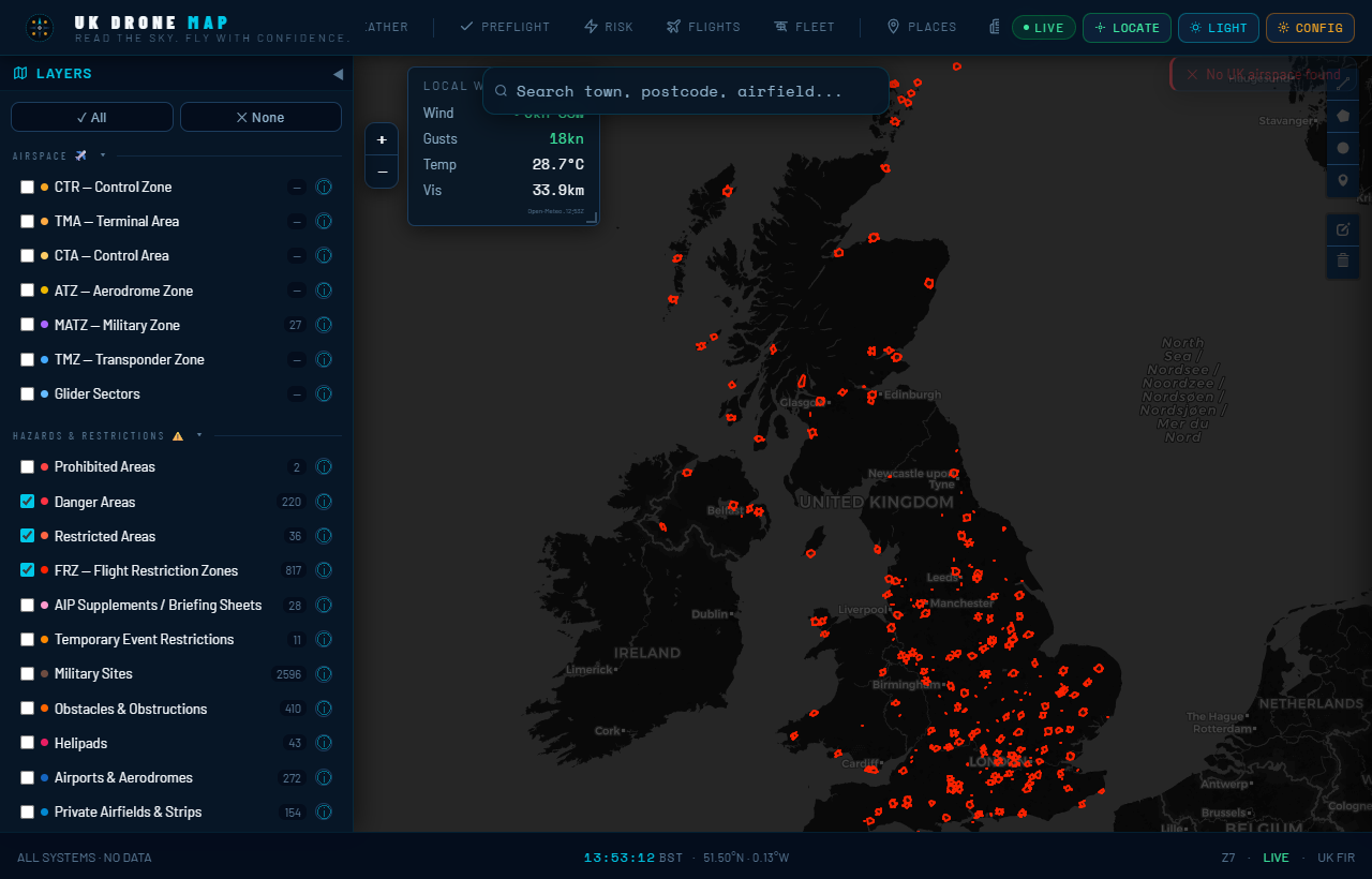
All three are drawn on the UK Drone Map events layer — open the map, switch on Events, and you can see exactly whether your launch site is inside a boundary rather than guessing from place names. The official boundaries are arcs centred near the airfield; the shapes on the map are planning approximations.
The standing Fairford transponder zone
Sitting underneath the air tattoo restrictions is a longer-running Temporary Transponder Mandatory Zone around RAF Fairford, from the surface to FL100, active since 27 March 2026 until further notice (CAA Briefing Sheet 016/2026). A TMZ requires aircraft to carry and squawk a transponder rather than banning flight outright, so it does not by itself stop a low-level Open-category drone flight — but it tells you the airspace around Fairford is active and busy with military traffic well beyond the show dates. Treat the whole area as one to check carefully, not just the show weekend.
Does it really apply to a 249g drone?
If you are inside one of the areas during its active window — yes. A Restriction of Flying under Article 239 ANO 2016 applies to all aircraft, explicitly including "any small balloon, any kite, any UAS and any parachute". Weight class, Open category rules and TOAL rights are all irrelevant inside an active RoF. The only standard carve-outs are police air support, air ambulance and coastguard aircraft, plus anyone holding a specific permission from the listed ATC units — not something a hobby pilot will have. Fairford is controlled by TATCC South / RAF Brize Norton (Brize Zone 119.005 MHz).
How to plan a drone flight around RIAT — step by step
- Check whether your site is inside an area. Open the live map with the Events layer on and find your launch point against Areas A, B and C. Much of the Cotswolds outside the arcs is unaffected by the RoF.
- Note the date and convert the time. Areas A and B run 15–19 July; Area C is the 20th only. AIC times are UTC; the UK is on BST (UTC+1) in July, so 0715 UTC is 08:15 BST.
- Fly outside the window, or outside the area. Unlike a short flypast, these areas are active for most of the day — roughly 08:00 to 20:00. If your site is inside one, plan to fly on a different day rather than around a gap.
- Remember the transponder zone and Brize airspace. The Fairford TMZ and nearby RAF Brize Norton's controlled airspace mean this corner of Gloucestershire is busy with military traffic even outside the air tattoo dates.
- Re-check NOTAMs on the day. Activity windows for areas like these are typically activated by NOTAM with at least 24 hours' notice, and timings can change. Check the live map or a NATS PIB before you travel.
Why airshow NOTAMs catch pilots out
Two reasons, both avoidable:
- The UTC trap. In summer every published time is an hour earlier than your watch. "0715–1900" is 08:15–20:00 BST, not a 7am-to-7pm window.
- The build-up and departures days. Many pilots assume the restriction is only for the public display weekend. In fact Areas A and B are active from Wednesday 15 July for arrivals, and Area C closes the airspace on Monday 20 July for departures — four days either side of the headline show.
Frequently asked questions
Can I fly my drone near RAF Fairford during RIAT 2026?
Not inside the restricted areas while active: Areas A and B daily 08:15–20:00 BST on 15–19 July, and Area C 07:45–18:45 BST on 20 July. Outside those, check the map — the Fairford transponder zone still applies.
Does it apply to drones under 250g?
Yes. Article 239 restrictions apply to all aircraft, explicitly including any UAS of any weight, plus balloons, kites and parachutes.
How high do the restrictions go?
Area A: surface to FL85 (about 8,500 ft). Areas B and C: surface to FL65 (about 6,500 ft).
Can I film the arrivals or departures from outside?
From well outside the active areas and below 400 ft, ordinary Open-category rules apply — but the whole area is busy with military traffic and inside a transponder mandatory zone, so keep clear and keep visual line of sight at all times.
Where can I see the boundaries on a map?
All three areas and the Fairford TMZ are drawn on the UK Drone Map events layer, with the official reference and active hours in each zone's popup.
Sources: AIC M 032/2026 (published 2 April 2026) and CAA Briefing Sheet 016/2026 for the Fairford TMZ, with the corresponding NOTAMs in the current NATS Pre-flight Information Bulletin. Area boundaries are arcs centred near RAF Fairford; the shapes shown on the map are planning approximations. Activity windows are typically activated by NOTAM with at least 24 hours' notice. Always verify against the official AIC and a fresh PIB before flight. Not for operational use.